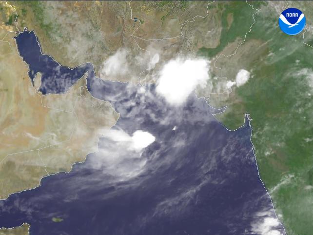
Data Elements: A large area of convective acitivity over parts of Pakistan. Observation Device: Meteosat 5 4 km infrared imagery. Visualization Date: July 28, 2003 15:53:56 Source: NOAA Environmental Visualization Program Front Page

